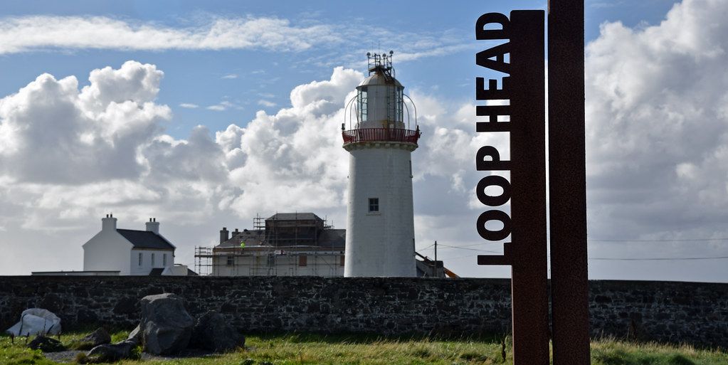
The road to the end of Clare
Loop Head is where County Clare runs out of land. The peninsula narrows over its last few kilometres until the Atlantic is on your right, the mouth of the Shannon is on your left, and the road simply stops at a white tower inside a walled compound. There is nothing beyond it but water until North America, and on a bike you feel every one of those last kilometres in your legs and your ears.
From Kilkee the run out is about 26 km on the R487, through Cross and past the turn for Kilbaha. The road is rolling rather than steep, but it is exposed from start to finish. There are few trees, few hedges tall enough to matter and a great deal of sky. On a still day it is one of the easiest long rides in west Clare. On a day of south-westerly wind it is a slow grind out and a quick, cheerful run home.
The last stretch past the village of Kilbaha is the loneliest. Fields give way to rough grazing and heath, the stone walls grow lower, and the lighthouse appears and disappears behind the folds of the land until you are almost at the gate.
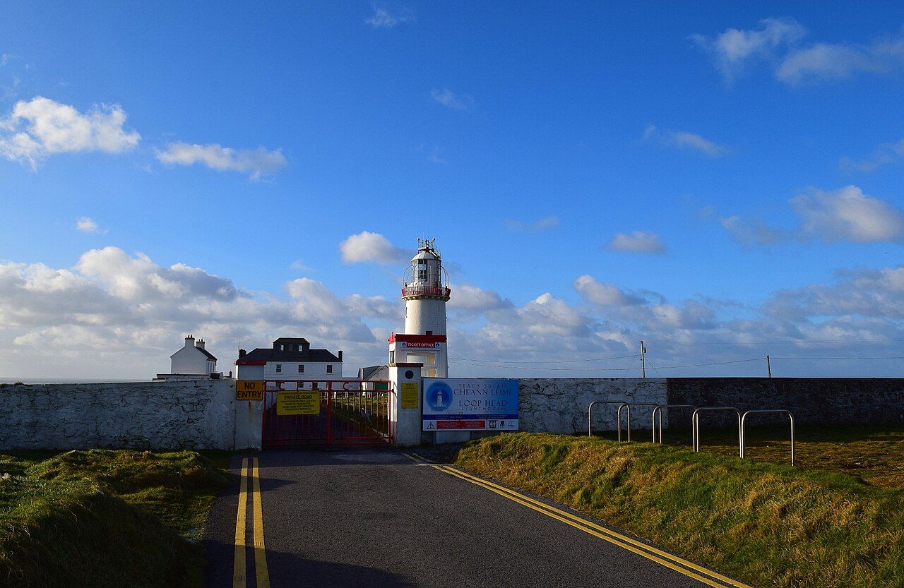
The lighthouse and the tower climb
A light has been kept on this headland for a very long time. The earliest was a simple affair, a fire burning on the roof of a small cottage to guide ships making for the Shannon. The tower you see now dates from the middle of the nineteenth century, and it still works as an automatic light, flashing out over one of the main approaches to the estuary.
In the summer season the lighthouse is usually open to visitors, with a small exhibition in the old keepers' buildings and guided climbs to the gallery at the top of the tower. The climb is short but the stairs are narrow, and the gallery is open to the weather. Visits run in small groups, they can be stopped when the wind is strong, and the days and hours change from year to year.
Even when the tower is closed, the headland is open. A path runs from the compound along the cliff top, and the walls of the compound give you somewhere to lean the bike and get out of the wind for a sandwich.
The cliffs and Diarmuid and Gráinne's Rock
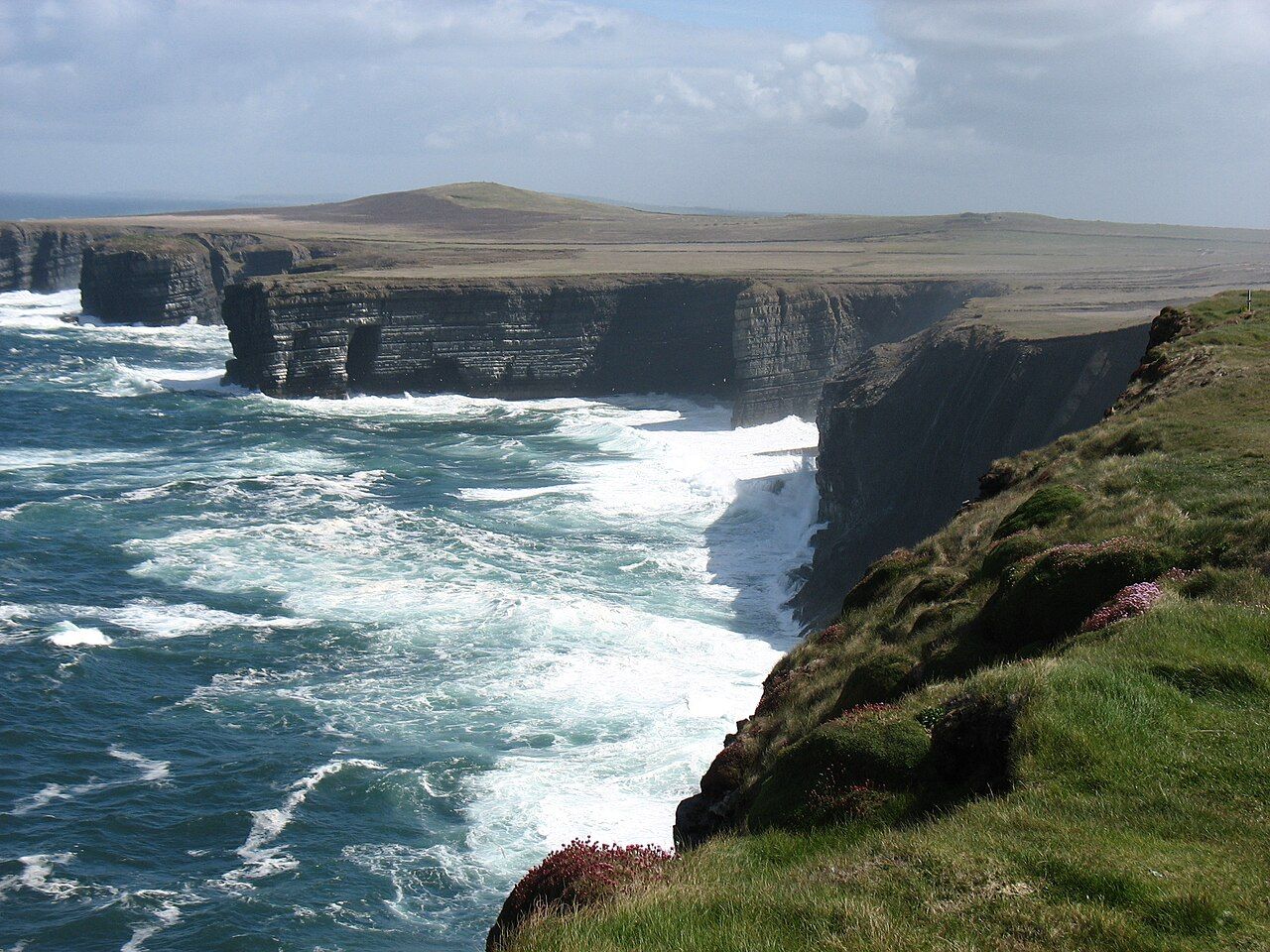
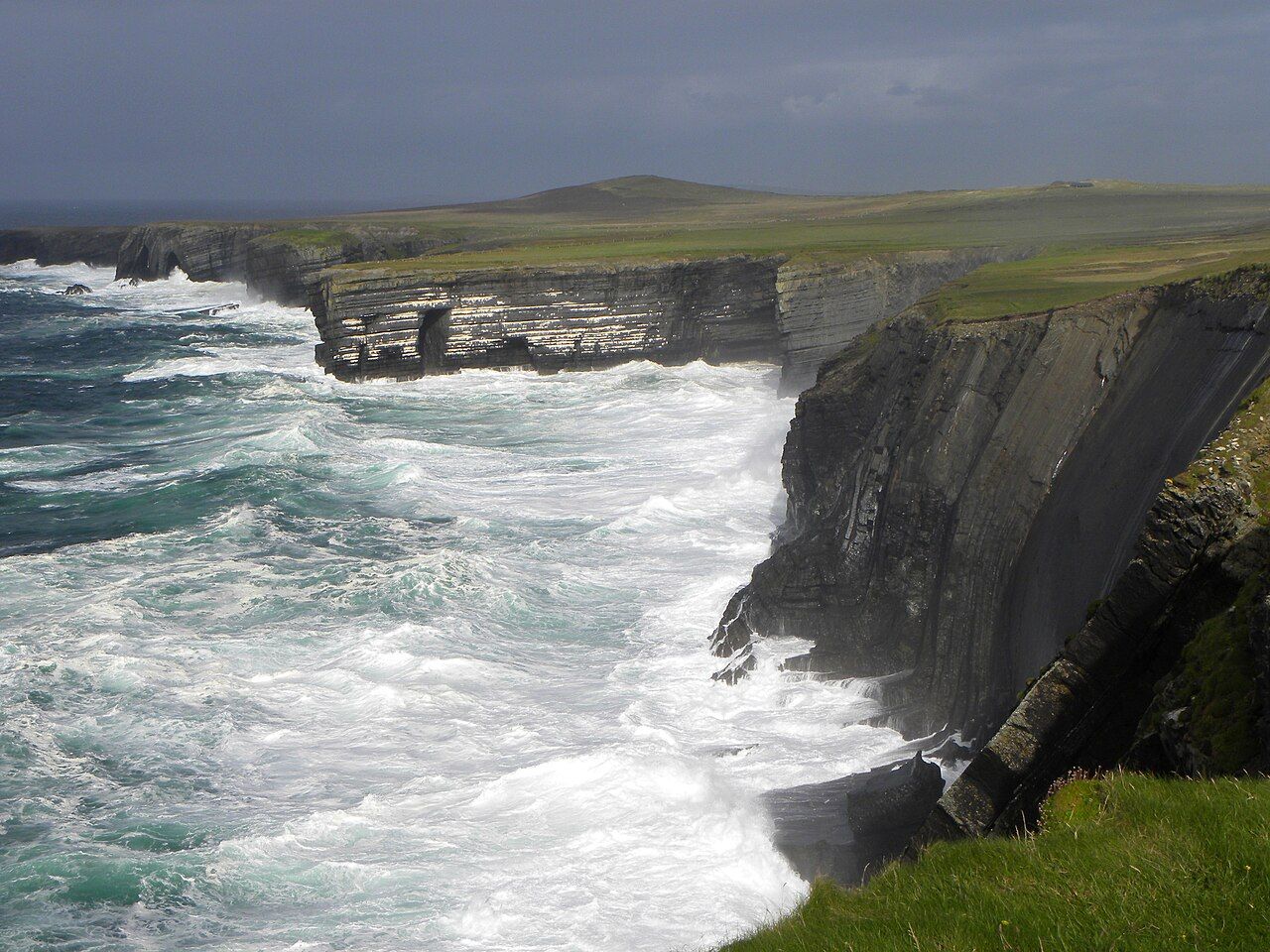
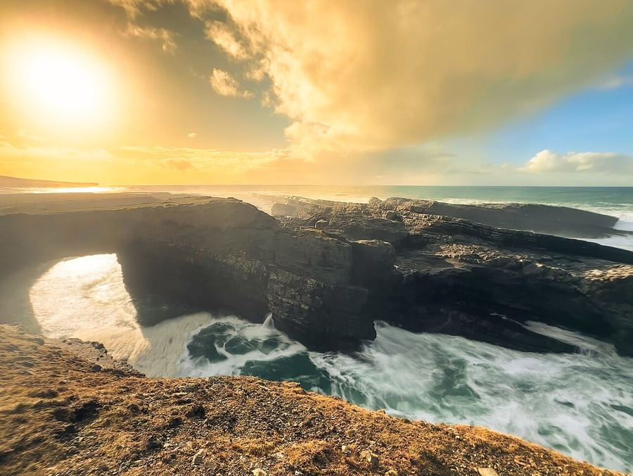
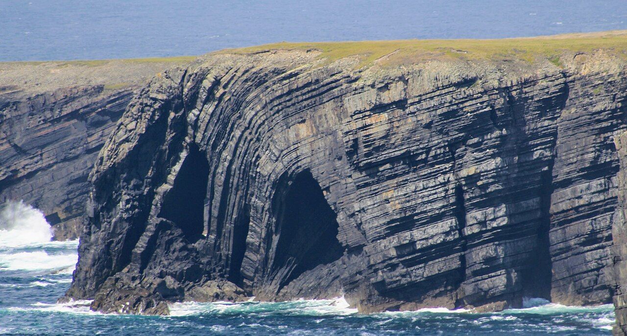
The cliffs at Loop Head are lower than the famous ones further up the coast, but they are sheer, layered and constantly worked by the sea. The rock lies in thin grey beds that break into ledges, and those ledges are where the seabirds nest. In early summer you can watch kittiwakes, guillemots, razorbills and fulmars coming and going below you, while choughs tumble along the grassy top with their red bills and loud calls.
Just off the cliffs stands a sea stack with a flat, grassy top and a story. It is known as Diarmuid and Gráinne's Rock, after the lovers of the old Irish tale who fled from Fionn mac Cumhaill and his warriors. The legend says that Diarmuid leapt from the mainland onto the stack to escape, and the Irish name of the headland, Ceann Léime, the head of the leap, is often linked to that jump. It is a legend, and a good one, but treat it as a story rather than a measure of how close the stack is.
The gap is real, and so is the drop. The grass runs right up to the edge in places, and the edge itself is undercut, cracked and sometimes hidden by a lip of turf. Keep well back, keep children and dogs close, and stay away from the edge altogether in wind or rain. Swell from far out in the Atlantic can throw spray over the lower ledges on a day that feels calm on the road.
 Next stretch of coastThe Bridges of Ross
EIRE in stone
On the headland near the lighthouse, large letters spelling EIRE are laid out in pale stones on the ground. They date from the Second World War, when Ireland was neutral and similar signs were made on headlands all around the coast so that aircraft crews would know they were over neutral territory. Each sign also carried a number, which helped pilots work out where they were along the coast.
Many of these signs vanished under grass and gorse after the war. The one at Loop Head has been cleared and restored in recent years, and it is one of the easier ones to see. You get the best idea of its size from a little way off, which is also the safe way to look at anything on this headland.
The war left other traces on the peninsula, from a lookout post to the memories of ships and aircraft seen offshore, but the stones are the plainest of them. They were a message written for the sky, and they still read clearly.
There is nothing beyond it but water until North America, and on a bike you feel every one of those last kilometres in your legs and your ears.
The view to Kerry
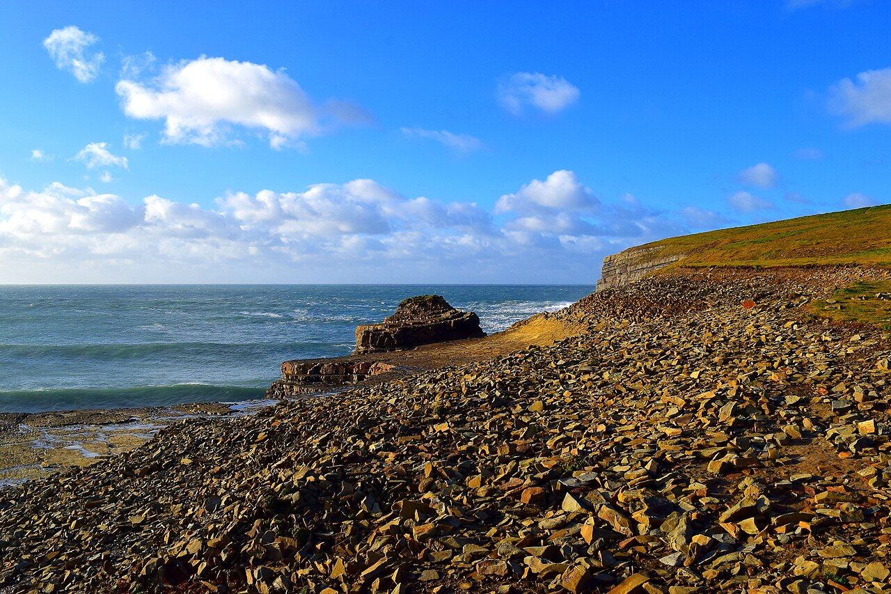
Turn south from the tower and you are looking straight across the mouth of the Shannon. The low ridge on the far side is Kerry Head, and behind it, on clear days, the mountains of the Dingle Peninsula rise in a long blue line. Ships bound for the estuary pass between the two headlands, and from the cliff path you can follow them for miles as they work their way in towards Kilrush and beyond.
North, the coast of Clare runs away towards Kilkee, Doonbeg and the long beaches beyond. On a very clear day you may make out the Aran Islands far to the north, but those days are rarer than the postcards suggest. More often the view is a shifting thing of showers marching in from the west, light breaking through behind them, and the sea changing colour every few minutes.
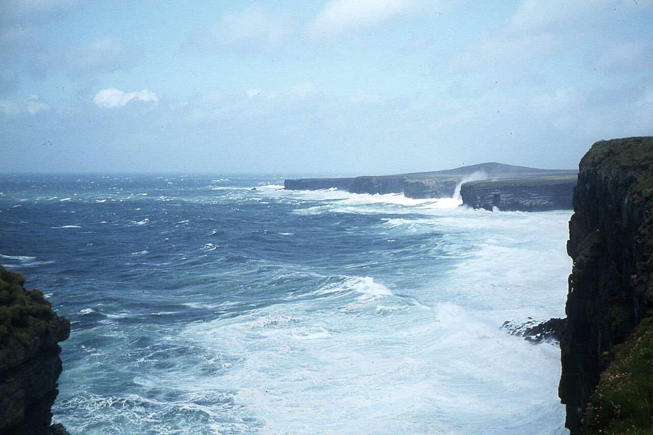
The water off the point is a good place to look for life. Grey seals are often seen in the swell below, gannets fold and drop into the sea offshore, and now and then the dolphins that live in the estuary are spotted out towards the open water. The guide to seabirds and sea life has more on what to look for and when.
Riding there and back
Most riders make Loop Head the turning point of a loop rather than an out-and-back. From Kilkee you can ride out along the main road through Cross, then come home along the estuary road through Carrigaholt, which is quieter and a little more sheltered. The whole circuit is about 60 km, depending on the detours, and it makes a full, satisfying day.
- Carry food and water. There are few places to stop on the last stretch, and opening hours out here are seasonal.
- Bring a proper waterproof and an extra layer for the headland, which is always colder than the road suggests.
- Have a plan for a puncture. Help can be a long way off.
- Check the forecast for wind direction as well as rain, and try to ride the hard leg in the morning while you are fresh.
The road out is a dead end, so traffic on the last few kilometres is light, but it comes in bursts on summer afternoons when cars and coaches head out for the view. Ride single file on the narrow sections and pull in to let them pass. For more on lanes and traffic, see riding safely on Irish country roads.
On the way home, stop on the rise above the headland and look back. The tower stands alone on the last green field in Clare, with the ocean on three sides of it, and it is a fine thing to have reached it under your own power.
Pictures here: Michael Deligan, cc-by-sa