A village on the estuary
Carrigaholt lies on the south side of the Loop Head Peninsula, about 11 km from Kilkee, where a small bay opens onto the wide mouth of the Shannon. After the open Atlantic shore on the other side, it feels like a different country. The water is calmer, the light is softer, and the far side of the estuary is close enough that the hills of Kerry fill the view.
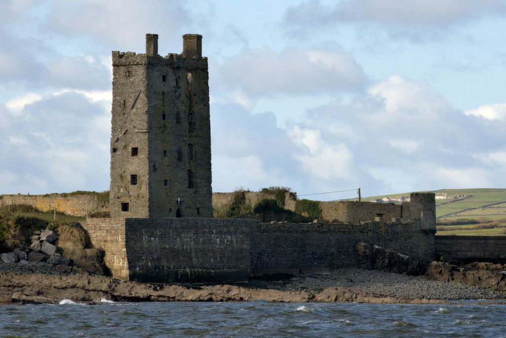
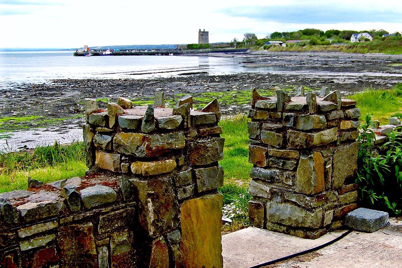
The village is a single main street running down to the shore, with a pier, a few boats and a castle standing on the rocks at the end of it. The Irish name is usually explained as the rock of the fleet, which suits a place that has watched ships come and go for centuries.
For riders it is the natural stop on the estuary road between Kilkee and Loop Head, and the obvious place to sit by the water and watch for fins.
The castle above the pier
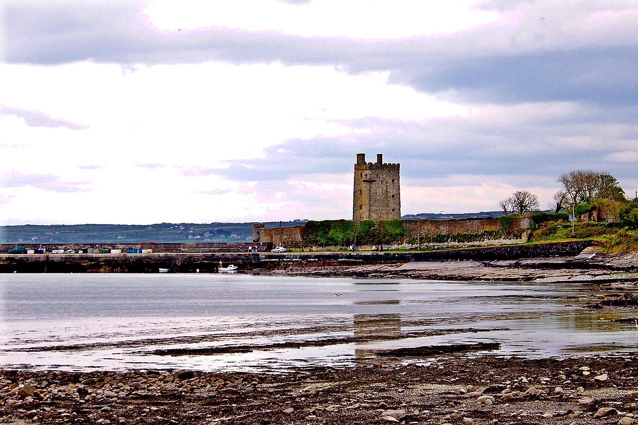
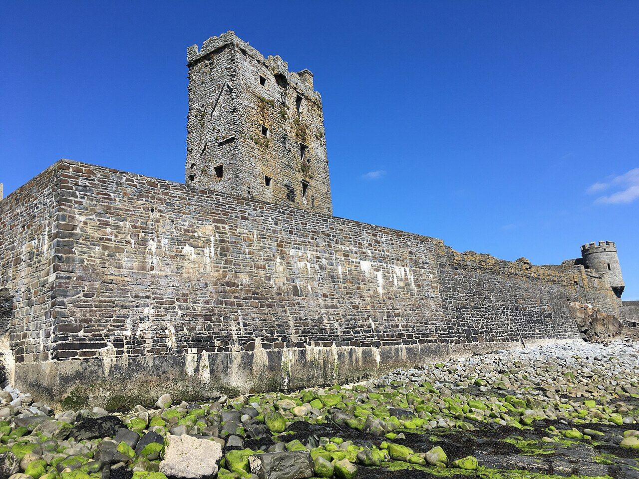
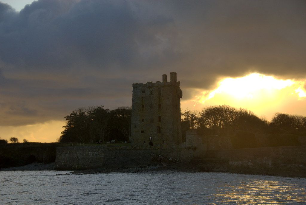
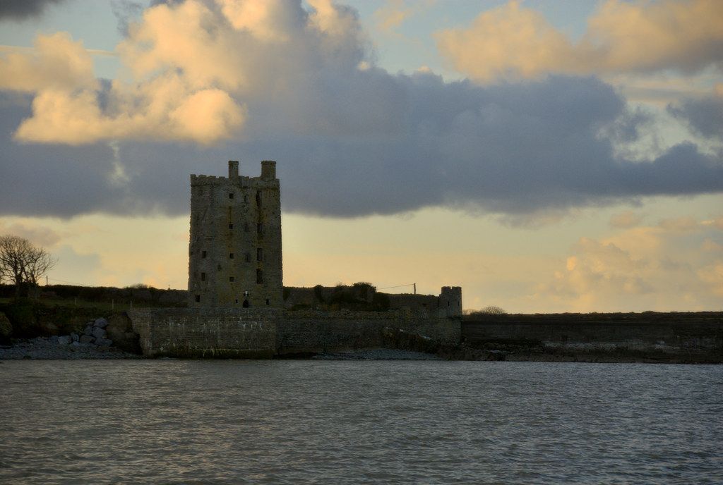
Carrigaholt Castle is a tall tower house built by the MacMahons, who held this part of west Clare, in the late fifteenth century. It stands on a rocky point beside the pier, with the walls of its old enclosure running down to the water. Like many Irish tower houses, it was a fortified home as much as a fort: a stack of rooms above a vaulted ground floor, with narrow windows and a stair in the thickness of the wall.
The castle changed hands in the wars of the sixteenth and seventeenth centuries, and later passed to the O'Briens, the Viscounts Clare. In 1588 ships of the Spanish Armada sheltered in the mouth of the Shannon, not far from here, while they tried to take on water and repair damage before the long voyage home.
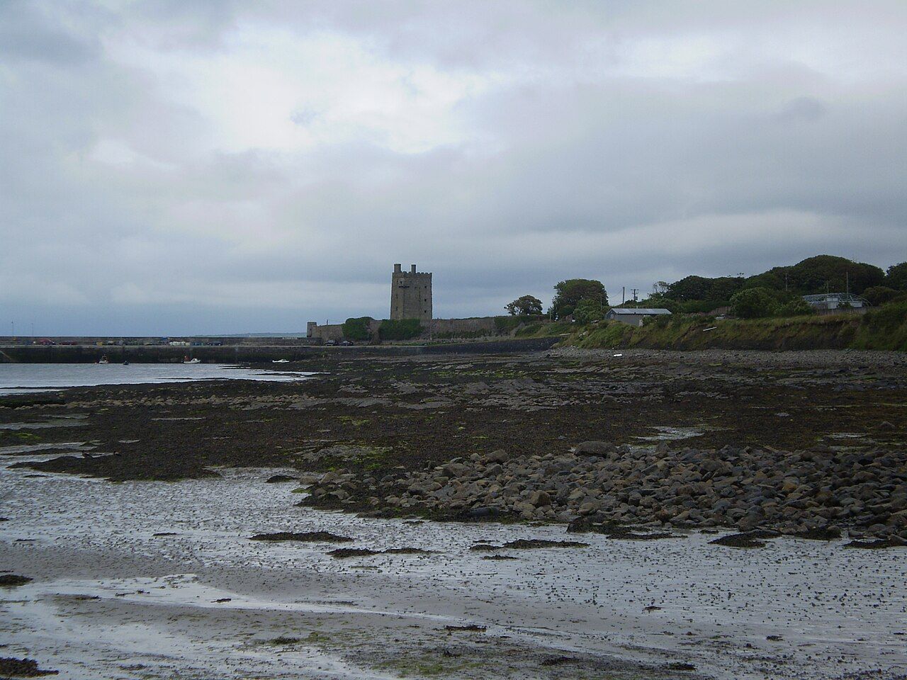
The tower is a ruin and you see it from the outside. Walk out along the pier for the best view of it, with the estuary behind, and keep off the walls and the rocks below them. At low tide the bay empties to weed, stones and mud, and the castle seems to stand higher still; at high water the sea runs right up to the foot of the old enclosing wall.
The Shannon dolphins
The Shannon estuary is home to a resident group of bottlenose dolphins, often said to number over a hundred animals. They are the only known resident group of bottlenose dolphins in Ireland, and one of very few in Europe. Unlike dolphins that pass along a coast and move on, these live in the estuary all year, feeding, breeding and raising their calves in its waters.
The mouth of the estuary between Carrigaholt, Kilcredaun Point and the Kerry shore is one of the places where they are most often seen. You may spot them from the shore as a curved back and a dark fin breaking the surface, a splash, or a group moving steadily against the tide. On calm days they are easier to see; when the water is choppy, every wave looks like a fin.
 Next stretch of coastSeabirds, seals and the sea
The estuary is protected for its wildlife, and the dolphins are the reason many people come. Their numbers and habits are studied closely, and the more they are left in peace, the more likely they are to stay.
Watching them responsibly
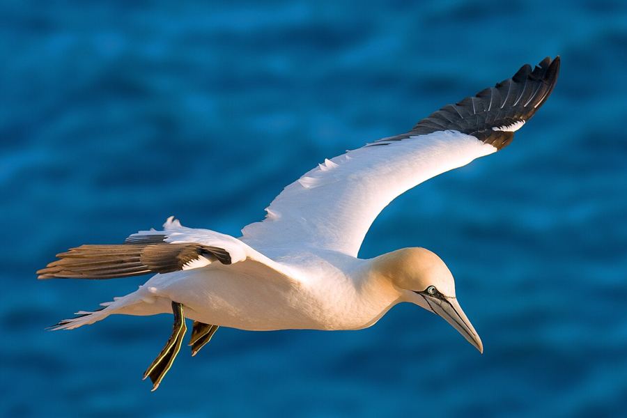
The best way to watch dolphins is the simplest. Find a spot on the shore or the headland with a wide view of the water, bring binoculars, and wait. The quiet minutes are part of it. Look for gulls and gannets gathering over one patch of sea, which often means fish, and fish often mean dolphins.
Boat trips run from the area in season, and sail only in reasonable weather. If you go out on the water in any boat, kayak or board, the general guidance is the same:
- Never chase dolphins or steer straight at them. Let them choose whether to come closer.
- Move slowly and steadily, and keep a good distance, especially from mothers with calves.
- Keep your time near a group short, and leave if they seem disturbed.
- Do not try to swim with them, touch them or feed them.
From the shore you disturb nothing, and you may well see as much. On a still summer evening the estuary can be glassy, and a group surfacing in the low sun is a sight that needs no boat at all.
From the shore you disturb nothing, and you may well see as much.
The Irish college
Irish was spoken widely on the Loop Head Peninsula well into the nineteenth century, and Carrigaholt has a long link with the language. The scholar Eugene O'Curry, who did much to bring the old Irish manuscripts to light, was born on the peninsula near Carrigaholt at the end of the eighteenth century.
Early in the twentieth century an Irish-language summer college opened in the village and was named in his honour. Through the years since, young people have come to Carrigaholt to learn and speak Irish, and the college has given the village a lively summer season of its own. You may hear Irish spoken on the street in July, which is fitting for a place so close to the end of the land.
The language is also written into the landscape. Townland names all over the peninsula come from Irish, describing a hill, a ford, a church or a family, and many of them sound richer once you know what they mean. Signposts in the area often carry both forms, so you can test yourself as you ride.
Riding to and from Carrigaholt
From Kilkee the direct road crosses the peninsula to Carrigaholt in about 11 km, over gently rolling farmland. It is a pleasant warm-up in its own right, and it links to the quieter bog roads of the interior if you want to wander.
The road west from Carrigaholt follows the estuary towards Kilbaha and Loop Head, with views across to Kerry most of the way. Ridden this way round, as part of a loop from Kilkee to the lighthouse and back, it is usually the more sheltered half of the day. East, the coast road continues towards Doonaha and on to Kilrush, about 18 km away.
Carry what you need. Facilities in the smaller villages are limited and often seasonal, and the estuary road has long stretches between houses. Take your time on the descent into the village, which ends at the water, and leave yourself a few minutes on the pier before you go. The dolphins keep no timetable, but they are in no hurry either.
If you only have one evening on the peninsula, spend it here. Ride in as the light lowers, find a place on the shore with a clear view of the water, and give the estuary an hour.
Pictures here: Andreas Trepte, cc-by-sa