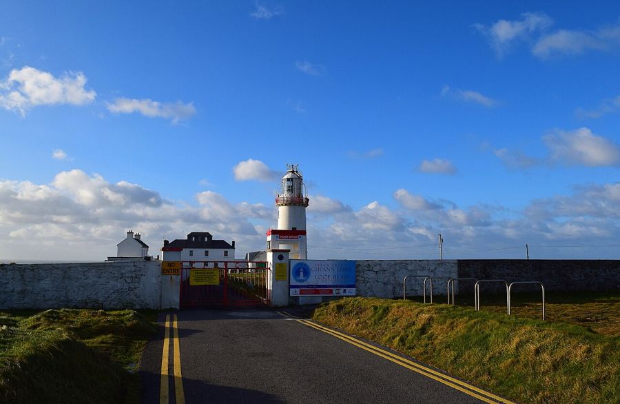
 Loop Head lighthouse and the end of the peninsulaAbout 60 km loop from Kilkee
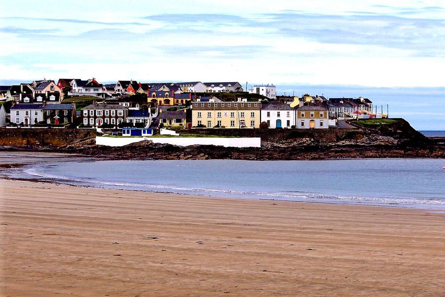 Kilkee and its horseshoe bayShort cliff loop from town
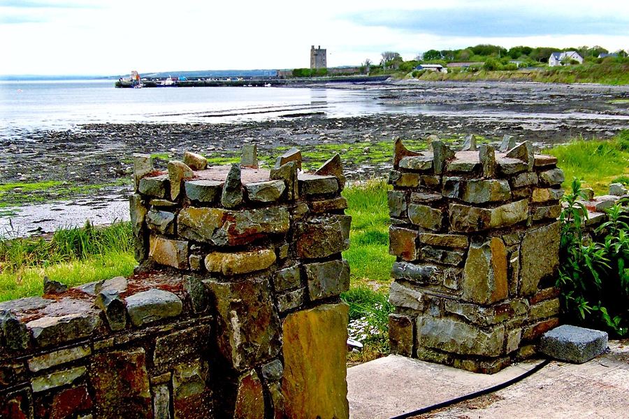 Carrigaholt and the Shannon dolphinsAbout 11 km from Kilkee
Loop Head by Bike
Loop Head is the long, low finger of County Clare that points out into the Atlantic between the Shannon estuary and the open ocean. It has cliffs on one side, a dolphin-filled estuary on the other, a lighthouse at the tip, and narrow roads across bog and pasture that see more tractors than cars.
These pages cover the peninsula and the coast running north from it, and the practical side of riding there: the wind, the weather, the roads and how to get there with a bike.
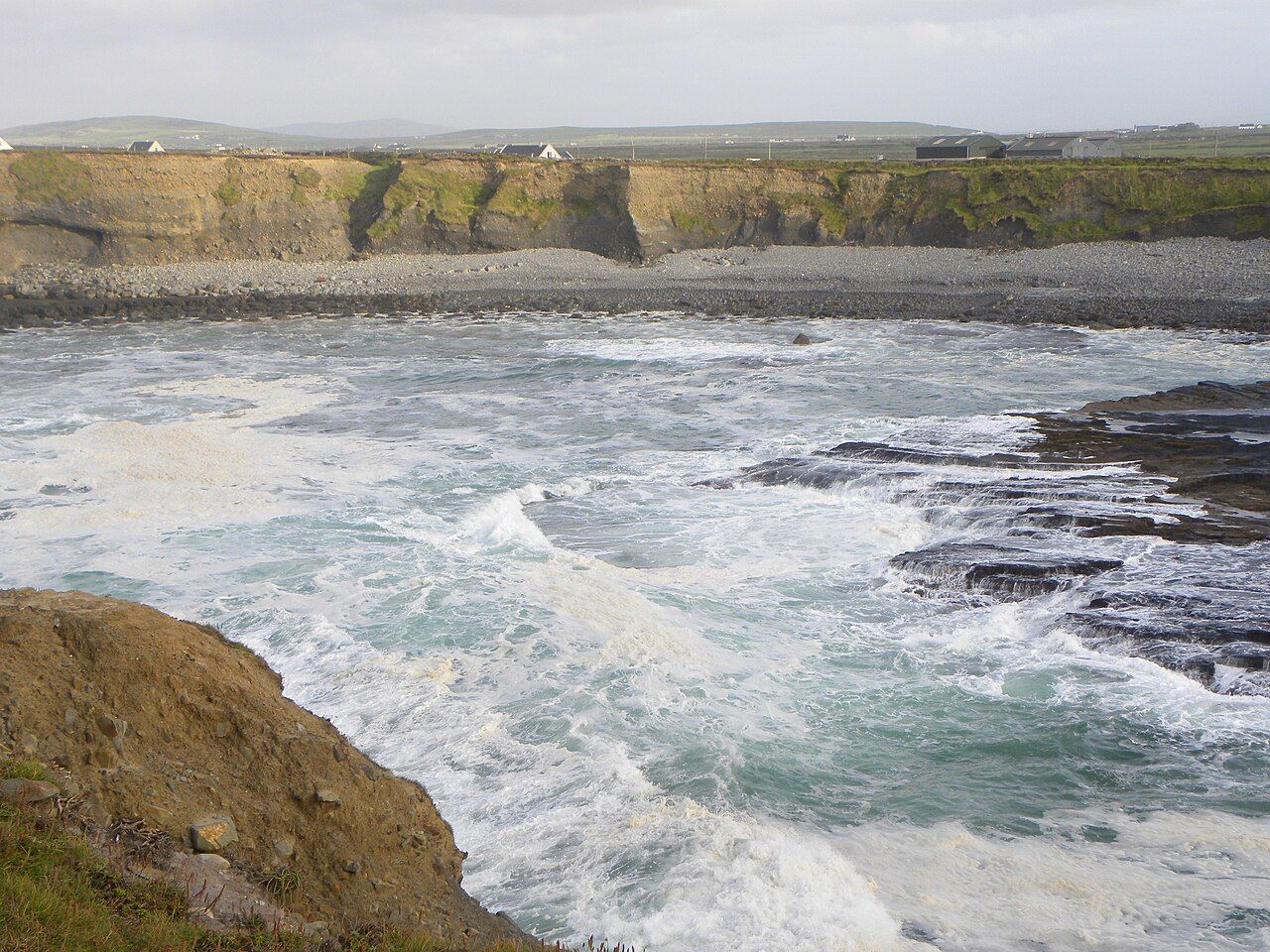
The Loop Head Peninsula
The lighthouse at the tip, Kilkee's bay, sea arches, dolphins in the estuary, the Little Ark and the quiet bog roads.
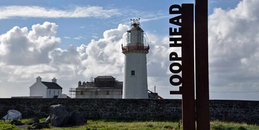 Rolling · About 60 km loop from KilkeeLoop Head lighthouse and the end of the peninsula
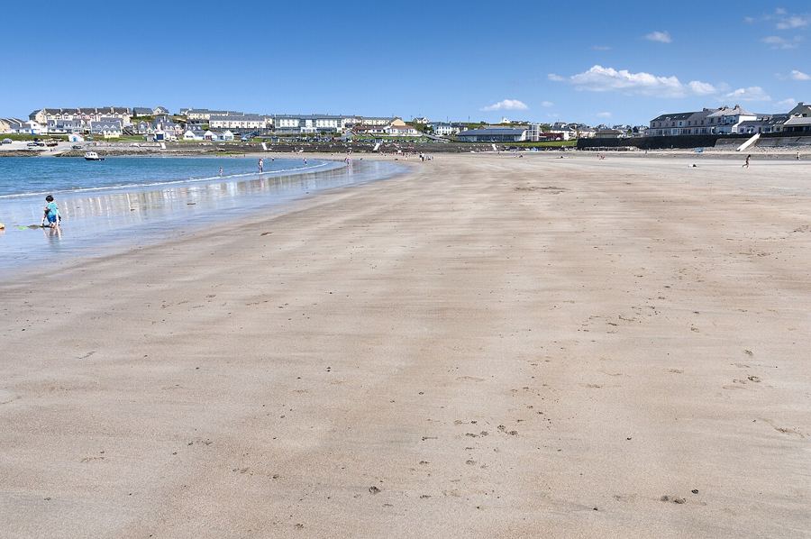 Rolling · Short cliff loop from townKilkee and its horseshoe bay
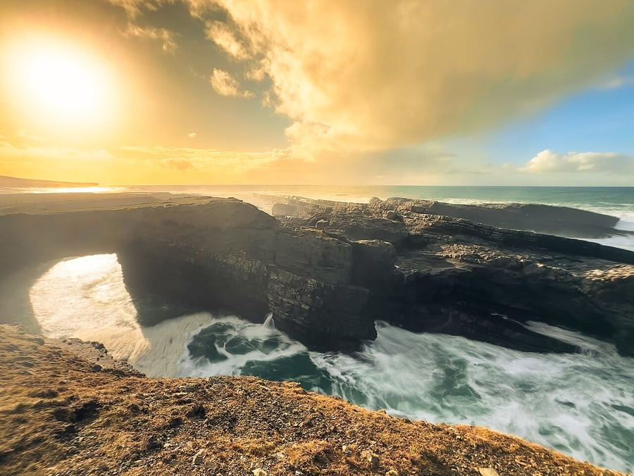 Rolling · About 20 km from KilkeeThe Bridges of Ross
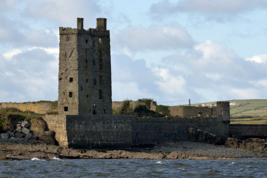 Rolling · About 11 km from KilkeeCarrigaholt and the Shannon dolphins
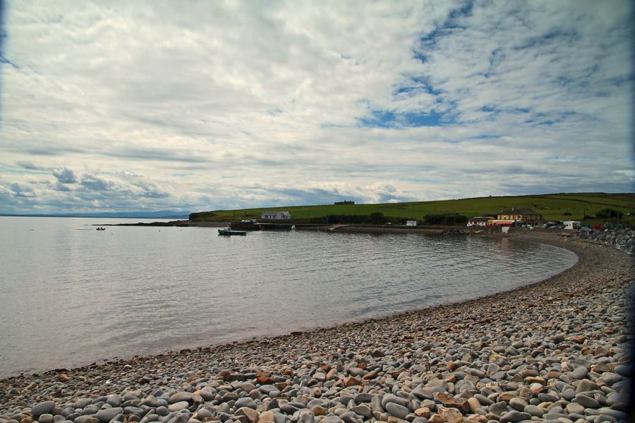 Rolling · About 5 km from Loop HeadKilbaha and the Little Ark
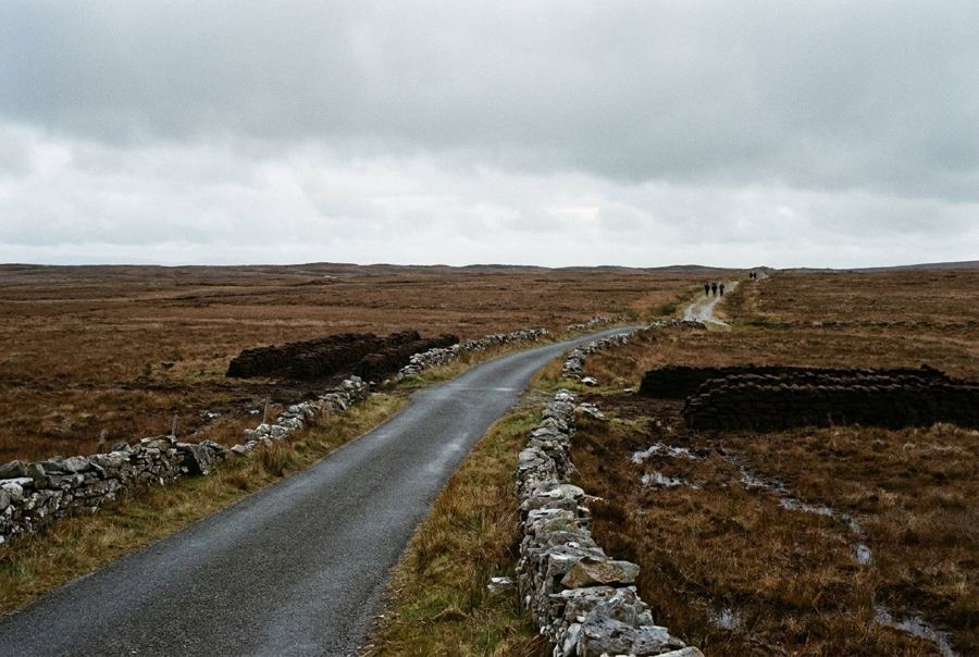 Flat · About 25 km of inland lanesThe bog roads of the peninsula
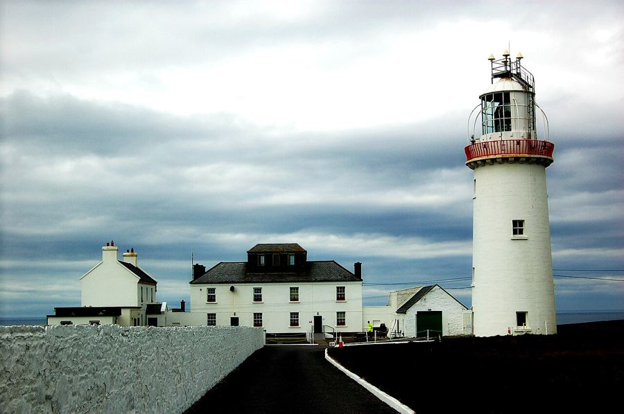 Rolling · About 25 km loop from CrossCross, Kilballyowen and the west end
Along the west Clare coast
Scattery Island, Kilrush, Doonbeg, Quilty, Spanish Point, Miltown Malbay, Lahinch and Ennistymon.
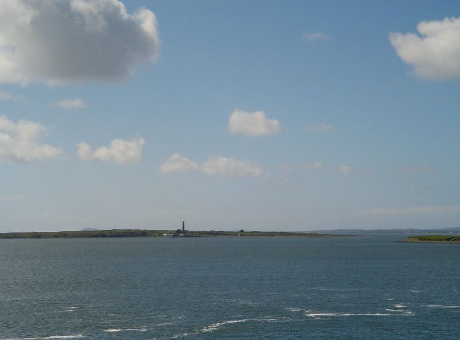 Off the bike · Short boat trip from KilrushScattery Island
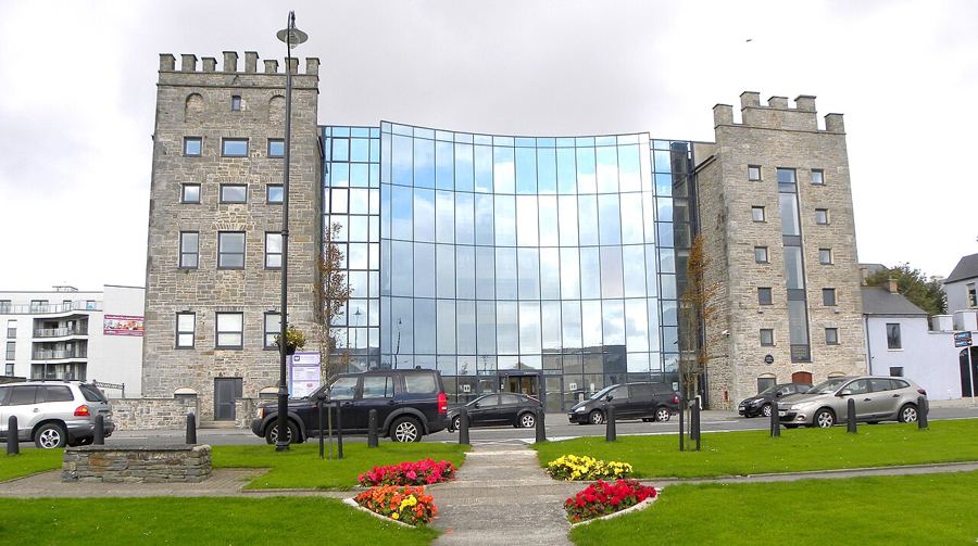 Rolling · About 13 km from KilkeeKilrush, the estuary town
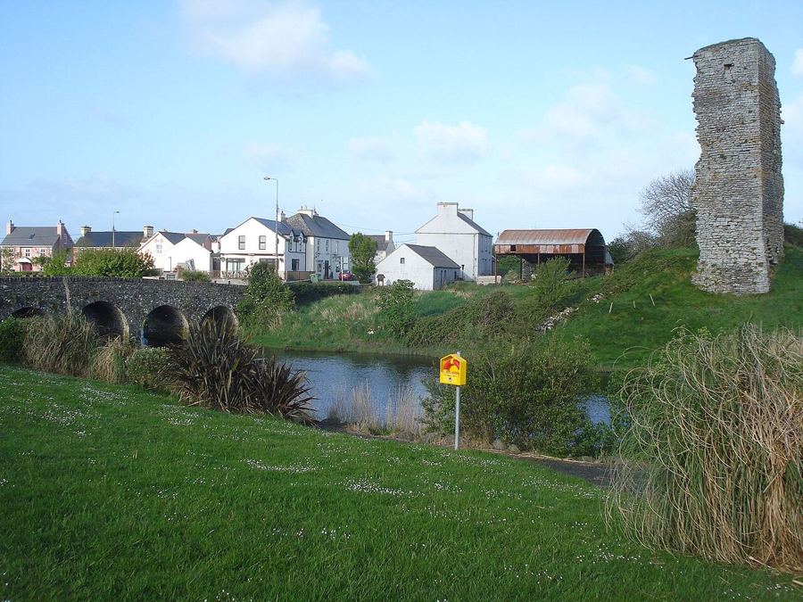 Rolling · About 12 km from KilkeeDoonbeg and the White Strand
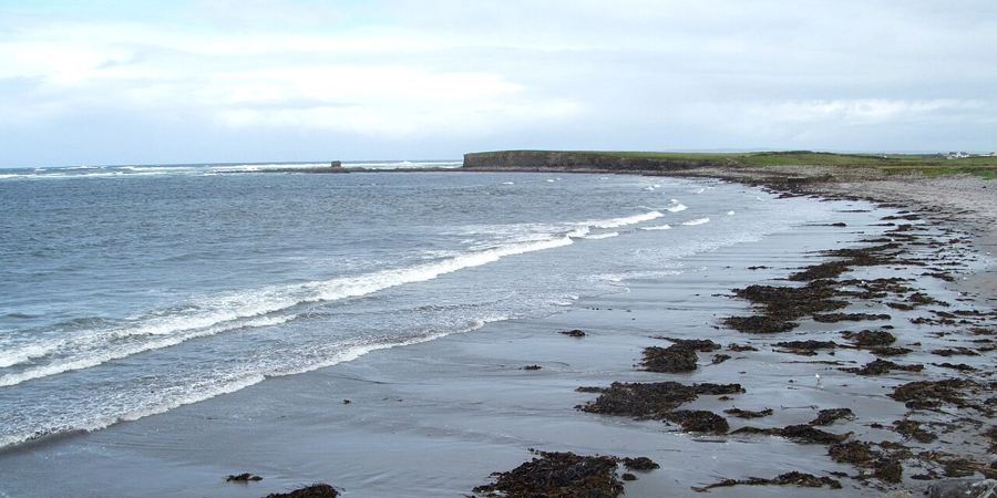 Rolling · About 26 km from KilkeeQuilty, the seaweed shore and the island offshore
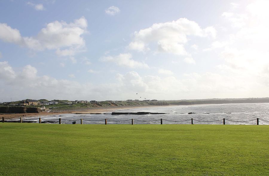 Flat · About 3 km from Miltown MalbaySpanish Point and the Armada coast
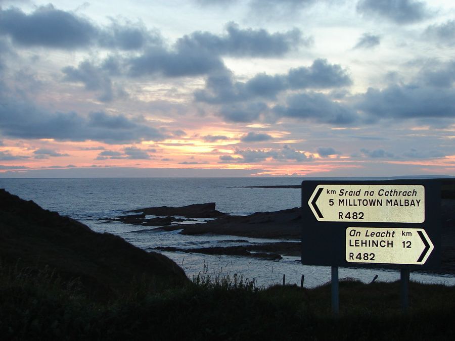 Rolling · About 13 km from LahinchMiltown Malbay and the music
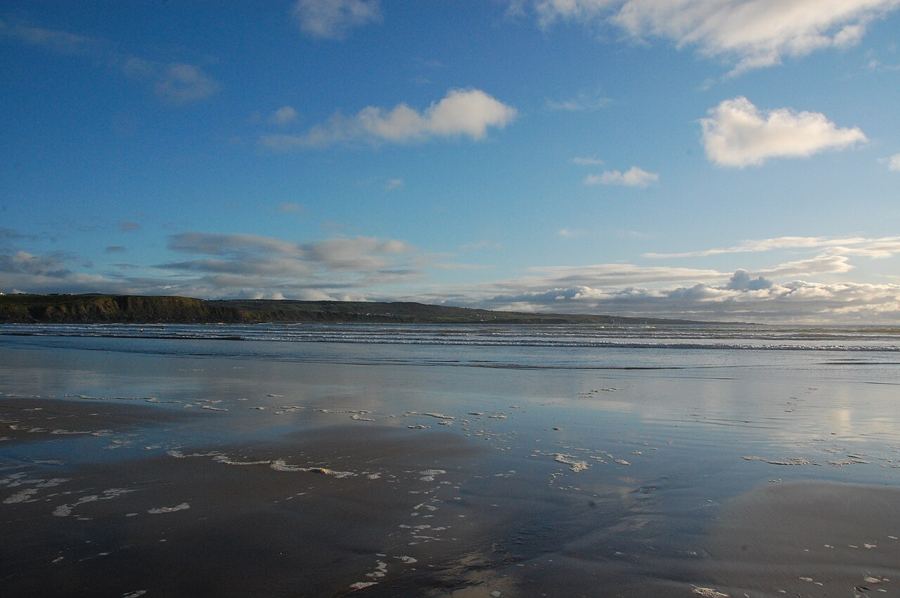 Rolling · About 13 km from Miltown MalbayLahinch and the surf
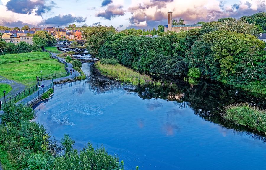 Hilly · About 4 km from LahinchEnnistymon and the Cascades
Riding the edge of Europe
Wind and weather, the Wild Atlantic Way, getting there with a bike, seabirds and sea life, and staying safe on narrow roads.
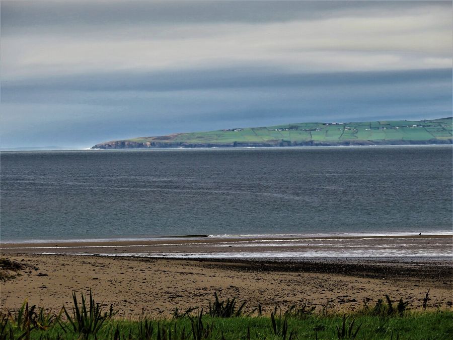 Off the bike · Any ride, any lengthWind, weather and the Atlantic
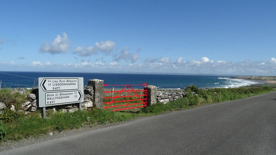 Rolling · About 75 to 80 kmRiding the Wild Atlantic Way in Clare
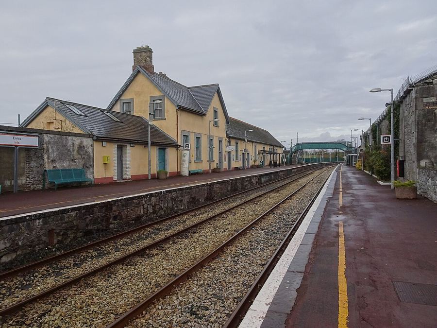 Off the bike · About 80 km from Shannon AirportGetting to Loop Head with a bike
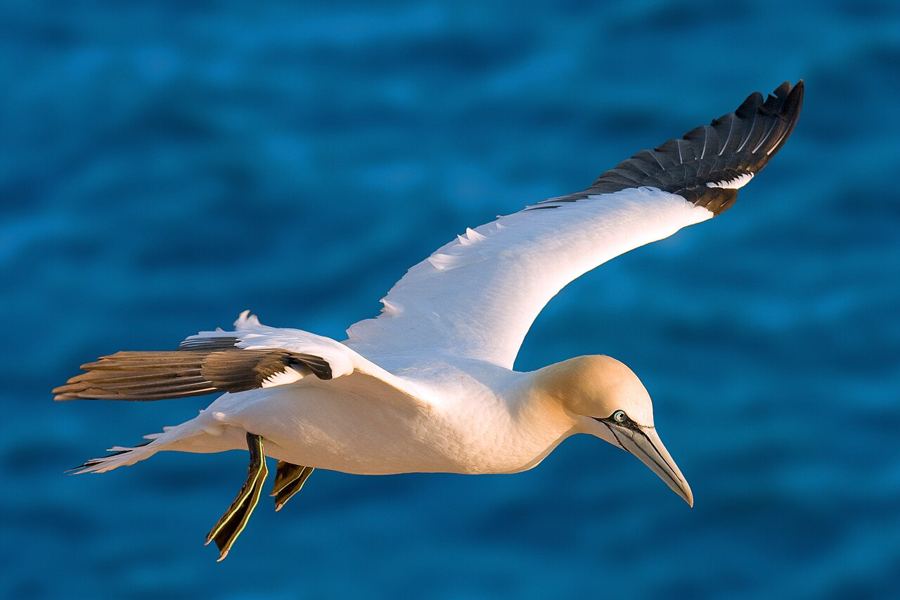 Off the bike · Short stops along any rideSeabirds, seals and the sea
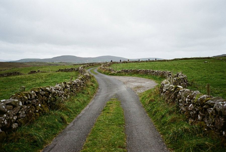 Off the bike · Any ride, any lengthRiding safely on Irish country roads
Ride with the wind in mind. The prevailing wind comes off the Atlantic from the south-west. Plan loops so the hardest headwind comes early, carry a layer for showers, and remember that a calm morning can turn into a gale by afternoon.
Pictures here: Ludwig Bickel, cc-by-sa; Suzanne Mischyshyn, cc-by-sa; Suzanne Mischyshyn, cc-by-sa; Mark Waters, cc-by; Peter Clarke, cc-by-sa; Mark Waters, cc-by; Lukemcurley, cc-by-sa; conall, cc-by; Chris Gorringe, cc-by-sa; Michael Deligan, cc-by-sa; Pete Hurford, cc-by; brianfagan, cc-by; Joseph Mischyshyn, cc-by-sa; Gordon Hatton, cc-by-sa; Eddylandzaat, cc-by-sa; Gordon Hatton, cc-by-sa; Holger Uwe Schmitt, cc-by-sa; Maoileann, cc-by-sa; Colin Park, cc-by-sa; Nigel Thompson, cc-by-sa; Andreas Trepte, cc-by-sa